


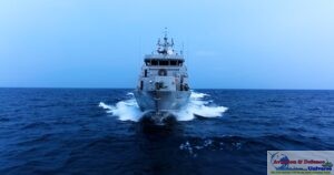


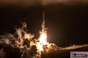
Friedrichshafen. 17 September 2020 . Airbus space engineers are preparing the European ocean satellite “Copernicus Sentinel-6 Michael Freilich” for its journey to the Vandenberg launch site in California. Next week, the satellite will be loaded into a cargo plane at Munich Airport and flown to the US. The Airbus-built satellite is scheduled for launch on 10 November 2020.
The Copernicus Sentinel-6 will carry out high-precision measurements of ocean surface topography. The satellite will measure its distance to the ocean surface with an accuracy of a few centimetres and use this data to map it, repeating the cycle every 10 days, with the mission lasting up to seven years. It will document changes in sea-surface height, record and analyse variations in sea levels and observe ocean currents. Exact observations of changes in sea-surface height provide insights into global sea levels, ocean sea state, ocean wind speed, the speed and direction of ocean geostrophic currents, and ocean heat storage. These measurements are vital for modelling the oceans and monitoring/predicting rises in sea levels. In addition, Sentinel-6 will provide measurements over large rivers and lakes in support of water management applications.
The findings will enable governments and institutions to establish effective protection for coastal regions. The data will be invaluable not only for disaster relief organisations, but also for authorities involved in urban planning, securing buildings or commissioning dykes.
Global sea levels are currently rising by an average of 3.3 millimetres a year as a result of global warming; this could potentially have dramatic consequences for countries with densely populated coastal areas.
The Sentinel-6 mission is part of the European Union Copernicus Programme for environment. This mission comprises two satellites and is being developed under Airbus’s industrial leadership. While it is a European mission, Sentinel-6 is a true example of international cooperation: it has been jointly developed by ESA, NASA, EUMETSAT and NOAA, with support from CNES.
Each satellite carries a radar altimeter, which works by measuring the time it takes for radar pulses to travel to the surface and back again to the satellite. Combined with precise satellite location data, altimetry measurements yield the height of the sea surface.
The satellites’ instrument package also includes an advanced microwave radiometer that accounts for the amount of water vapour in the atmosphere, which affects the speed of the altimeter’s radar pulses.
The satellite weighs approximately 1.5 tons. Starting with Sentinel-6 Michael Freilich, in November 2020, the Sentinel-6 satellites will collect satellite-based measurements of the oceans’ surfaces, continuing a task that first began in 1992. The second Sentinel-6 spacecraft is then expected to follow in 2025.
In January 2020, the satellite was renamed after Michael H. Freilich, who led NASA´s work in Earth science for many years. Sadly Michael Freilich passed away in August 2020.


-A4-Size-(2)_page-0001.jpg)