














- Factory Floor to Final Frontier: Finnish Satellites Aim For Made In India & Watching The World
- From Buying Images to Owning the View: ICEYE’s Sovereign Satellite Pitch to Indian Defence & Security
- Building the Eyes In The Sky: ICEYE Invites Indian Industry On Board
By Sangeeta Saxena
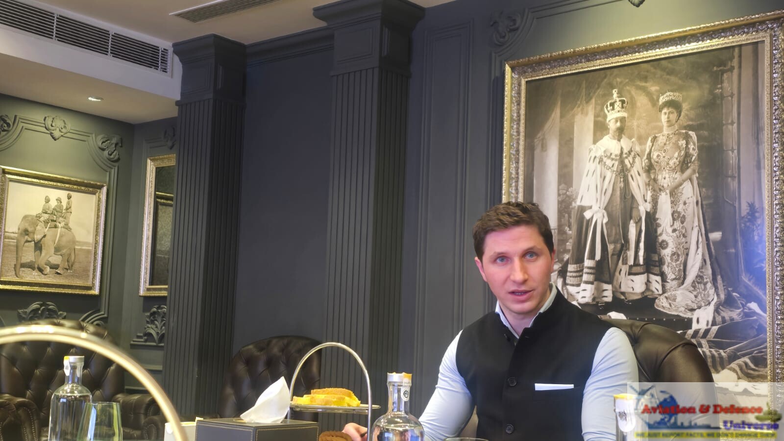
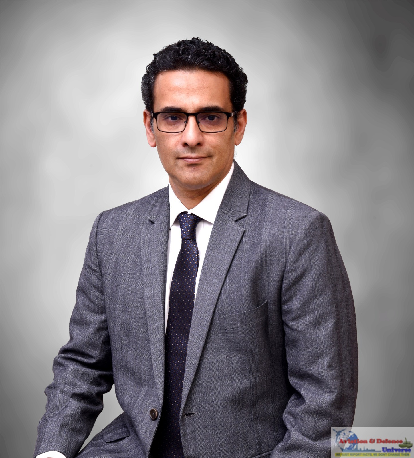
New Delhi. 01 October 2026. “I want to build a satellite in India.” With that declaration, ICEYE co-founder and CEO Rafal Modrzewski put India at the centre of his company’s manufacturing ambitions and it’s plans extend beyond Indian orders. ICEYE’s intention to manufacture in India is not conditional on receiving an Indian government order. He described a gradual approach beginning with subsystems and progressing towards complete satellites. ICEYE’s interest, he explained, reflects the advantages of operating across multiple countries, access to different engineering talent pools, supply chains and cost structures.
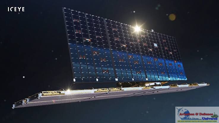 Speaking to a select group of journalists in New Delhi, he outlined a proposition spanning radar imagery through darkness and cloud cover, sovereign satellite ownership and opportunities for Indian suppliers. For India’s armed forces and space industry, the conversation opened a compelling possibility, greater control over what they observe—and a larger role in building the technology that enables it. India could become a manufacturing base for some of the world’s most advanced radar imaging satellites, with Finnish satellite company ICEYE exploring local production, supply chains and sovereign surveillance capabilities.
The manufacturing opportunity would therefore be assessed both as a contribution to Indian sovereign capability and as part of ICEYE’s international production network. “If you would like sovereign SAR capabilities built in India and launched out of India, we are here and we can make that happen. We will make in India and make for the world,” was Rafal’s optimistic assertion.
ICEYE’s India story now awaits its next decisive step: turning manufacturing intent into facilities, supplier partnerships and satellites in orbit. The opportunity stretches from Indian engineers building advanced systems to Indian forces directing their own eyes in space. Modrzewski has made the ambition clear. Its success will be measured on the factory floor—and above the clouds.
An invitation to Indian suppliers
Modrzewski informed that ICEYE had not yet selected specific Indian supply-chain companies, but invited businesses to explore collaboration across satellite components and services. He identified opportunities involving solar panels, propulsion, cables, onboard computers, integrated circuits, aluminium and launch services. “I’m happy to send a general invitation to all companies in India to connect with us,” he said. Local sourcing would be attractive where it could reduce costs and delivery times while meeting technical requirements. If Indian production proved sufficiently competitive, he suggested, it could serve customers beyond India.
 He confirmed a memorandum of understanding with Agnikul, explaining that ICEYE would consider its launch vehicle if the offering became commercially viable and suited the company’s requirements. ICEYE was also willing to help ensure compatibility between the launcher and its satellites. The agreement was not exclusive, he emphasised. Other launch companies and suppliers offering faster, cheaper or useful alternative capabilities were welcome to approach ICEYE. “We are very eager to work with our suppliers because we benefit from them developing further,” he said.
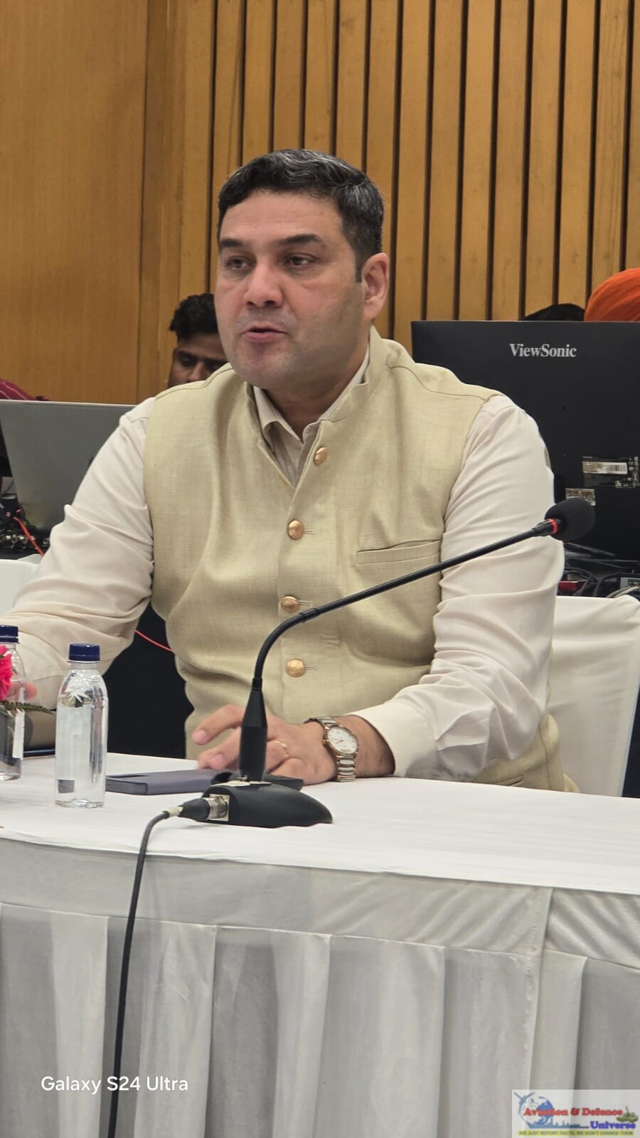
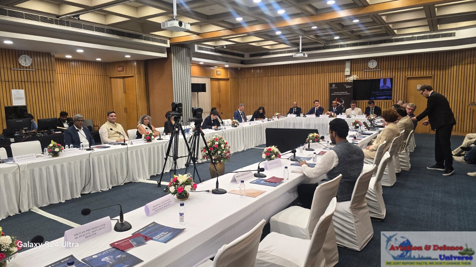
During a wide-ranging roundtable, Modrzewski discussed ICEYE’s growing Indian presence, its government customers, satellite ownership and leasing models, potential cooperation with ISRO, opportunities for Indian suppliers, and the relationship between space-based intelligence and national security. He also addressed shareholder scrutiny, data sovereignty, cybersecurity and the engineering choices involved in monitoring large areas at frequent intervals. His central proposition was that India could combine domestic manufacturing and operational control with internationally developed technology and potentially supply satellites to customers around the world.
From buying images to owning satellites
Modrzewski described the company’s existing offering as an imaging service. Government users identify locations of interest and ICEYE uses its constellation to acquire and deliver imagery as quickly as possible. He put the fleet used for this service at approximately 30 satellites at the time of the discussion. This was distinct from the larger number of satellites the company had built for itself and other customers.
 Modrzewski outlined three broad levels of engagement: purchasing imagery, leasing dedicated satellite capacity and acquiring satellites that the customer owns and operates. He compared ordering images to booking an Uber: the vehicle and waiting time can vary because the service is shared. Leasing, by contrast, gives the customer dedicated access to a particular satellite, either for an area of interest or globally, depending on the arrangement. “It takes you a step towards sovereignty,” he said. “It takes a step towards independence.”
A leased satellite can also be operated by the customer, subject to the agreed configuration. Ownership provides a further level of control. The customer decides how to operate the satellite, where to download its data and where that information subsequently goes. “We build them, we either launch it for them, or they launch it for themselves,” he explained. “They are the owner and operator of the satellites.” He said sovereign satellite ownership had become ICEYE’s most popular offering. Asked which engagement models were being discussed with India, he replied – “All of them.” The decision, he stressed, rests with the government and end user.
Sovereignty includes tasking and data control
Modrzewski on being asked whether a customer could keep its observation targets confidential, including from ICEYE, explained that greater confidentiality requires greater operational control. A customer seeking to independently select targets and manage the data chain would need to operate the satellite rather than rely entirely on ICEYE’s service.
 The company works through approximately 25 ground stations, he said. Depending on the arrangement, a customer can select facilities for transmitting commands and downloading imagery, with encrypted tasking used to protect communications. Modrzewski distinguished leasing from ownership: a leased satellite may return to ICEYE’s control when the agreement ends, whereas an owned satellite remains the customer’s asset throughout its operational life.
On potential collaboration with ISRO, Modrzewski was positive but stopped short of announcing a project. “ISRO is a phenomenal capability,” he said. Discussions concerned possible cooperation on research and future capabilities, including whether ICEYE’s technology could be useful to the Indian space agency. These remained at an early stage.
He argued that established public space institutions and newer commercial companies have complementary roles. Government institutions can undertake programmes without an immediate commercial return, while private companies can focus on rapid product development and repeat production. “The mission for our entity in India is to help secure India,” he said, presenting shared objectives as a basis for cooperation.
Ownership, investors and supply-chain scrutiny
Modrzewski described ICEYE as a privately financed company with a distributed shareholder base and approximately 20 major financial investors, subject to changes in its financing structure. “No single fund has a controlling stake,” he said. He explained that shareholders appoint a board, which engages the management. Asked specifically about investors linked to China or Hong Kong, he replied, “No, neither Hong Kong nor China.” He also said ICEYE’s supply chain was not sourced from China, relating this position to the scrutiny associated with supplying defence customers, including the United States Department of Defense.
Speed, cost and imaging performance
ICEYE could bring to India, Modrzewski pointed to a combination of manufacturing speed, imaging capability and price. “We can build today one satellite a week,” he said, adding that a satellite cost 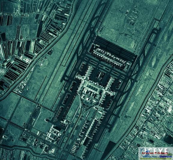 approximately US$25 million and could produce 16-centimetre imagery, irrespective of weather conditions or time of day. He presented these figures as evidence of ICEYE’s competitive position, arguing that few companies globally can combine comparable performance, production speed and cost.
ICEYE had launched 74 satellites successfully and sold satellites to 15 countries across Europe, Asia, the Americas and the Middle East. Modrzewski also referred to a 40-satellite German constellation, which he said was expected to be launched over the following 18 months and owned and operated by the customer.
Revisit frequency is different from continuous observation
Questions about border surveillance led to a detailed explanation of how satellites revisit locations. A satellite dedicated to an area does not remain stationary above it, Modrzewski clarified. Its access depends on its orbit, the location and the size of the area being observed. In a simplified example involving a single satellite, he described a revisit interval of approximately 12 hours, with the possibility of returning in the same viewing geometry every 24 hours under a suitably configured orbit. These were illustrative figures, rather than a universal guarantee. For much more frequent observation, a constellation is required. Discussing military applications in general terms, Modrzewski explained why frequent imagery can help identify preparations for an operation. Aircraft movements from hangars, refuelling, deployment of equipment and other activity can generate observable indicators before an operation begins. Repeated observations can therefore support “indications and warnings.” He also described an approach called “illuminate and respond”, using surveillance to establish awareness, followed by communication or another response intended to influence an adversary’s behaviour. “You may actually be able to prevent an attack from taking place by simply informing the adversary that you know that he is preparing an attack,” he said.
From student engineering to rapid satellite development
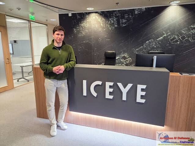
 ICEYE’s story began with students daring to build what the established space industry said could not be built. At Finland’s Aalto University, Rafal Modrzewski and Pekka Laurila turned an ambitious idea—a radar imaging satellite weighing less than 100 kilograms—into an engineering mission that reached orbit in 2018. From that first breakthrough grew a global business built around speed, sharper imagery and close attention to customers’ needs. Successive satellite generations and sovereign space partnerships carried ICEYE from a university venture into the international defence and intelligence market. Its rise is a compelling story of curiosity becoming capability: two students questioned the limits of satellite engineering, then built a company that persuaded governments to look at space differently. For a a radio science engineer specialising in radar antennas it was a dream come true. He said the team saw an opportunity to challenge an industry characterised by lengthy development cycles and repeatedly customised systems. Listening to users was central to that model.
18 Months Per Generation Growth
Modrzewski said ICEYE was operating its fourth-generation satellites and expected to launch the fifth later in the year. He described a development rhythm of approximately 18 months per generation, with changes informed by users’ operational requirements. He cited participation in exercises in South Korea, Japan and NATO countries as opportunities to test performance and collect feedback. The objective was continuous 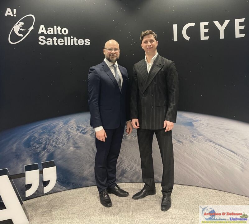 improvement informed by how customers actually use the system, whether during exercises or conflict. “If you want to win, you must be at the bleeding edge of the technology,” he said. Research is the engine driving ICEYE’s sharper vision from space—and its expanding global footprint. From its origins in radar engineering to successive generations of imaging satellites, the company has built its growth around continuous experimentation, rapid development and feedback from users. Operational experience and military exercises help its engineers identify what customers need next, while advances in imaging, satellite design and software strengthen performance and security. This close connection between research and real-world requirements allows ICEYE to refine its technology and respond to changing intelligence needs. As it explores manufacturing and collaboration in India, that approach offers a foundation for new partnerships, bringing engineering talent and fresh ideas into the company’s next phase of development.
An Indian manufacturing ambition with global reach
ICEYE’s foray into India could give Indo-Finnish cooperation a new dimension in space technology and defence. With an expanding Indian office and an expressed intention to manufacture satellites locally, the Finnish company sees opportunities to connect its radar imaging expertise with India’s engineering talent, suppliers and growing demand for sovereign surveillance capabilities. Its existing imagery services for Indian government users, early discussions with ISRO and openness to Indian launch providers offer 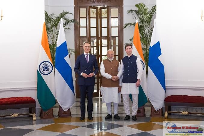 practical avenues for deeper technological engagement. As these plans develop, ICEYE could support skilled employment, local manufacturing and greater operational control over satellite intelligence, while strengthening industrial links between the two countries. The opportunity is to turn a commercial presence into a lasting partnership that advances India’s security requirements and expands Finland’s collaboration with India’s space and defence industry.
For India’s Army, Navy and Air Force, ICEYE’s radar imaging satellites could provide a valuable layer of intelligence, observing areas of interest through cloud cover and darkness. The Army could use repeated imagery to assess changes in border infrastructure, deployments and logistics activity, the Navy could strengthen maritime surveillance by detecting vessels and monitoring ports and coastal facilities and the Air  Force could track activity at airbases, assess infrastructure and support mission planning and post-strike damage assessment. Combined with other intelligence sources, frequent satellite observations could improve early warning and give the three services a more coherent operational picture. Sovereign ownership and operation would offer greater control over tasking and sensitive data, while the frequency of observations would depend on constellation size and configuration.
From a student venture in Finland to an ambition to manufacture in India, ICEYE’s journey shows how research can become strategic capability. Rafal Modrzewski’s proposition brings together Indian talent, local production and greater control over intelligence from space. The next chapter will depend on translating that ambition into partnerships, facilities and satellites that serve operational needs. For India, the opportunity is compelling – to build on the ground the eyes it needs in the sky—and help to see the world more clearly.



































































-A4-Size-(2)_page-0001.jpg)