


By Sangeeta Saxena.
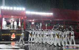
New Delhi. 04 March,2016. When the new year dawned with terrorists attacking Pathankot Airforce Base , the nation stood solidly around the defence forces and many countries across the world agreed with India that not only terrorists need to be killed but terrorism needs to be removed from the face of the earth absolutely. The only question which couldn’t be answered was is there a fool proof methods of warning on these attacks and tracking their activity non-stop.
When traditional methods fail modern day technology based warfare says geospatial intelligence must be capitalized to thwart these terrorists and their plans to strike. Geospatial tools, including mapping, satellite imagery, GPS, various analyses, community mapping, and big data analytics, are especially useful in preparing a solid defence.
India need to identify a GIS enterprise that’s tailor made for it and understands the need. The seamless exchange of information is lacking in India and that the country needs a system robust enough to understand the requirements of the users.
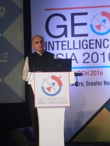
“Use of geospatial technologies can help in nation building . Our policies on geospatial data need to be updated for commercial ease. We must have a policy which makes access to data easier. India should stress on data access and data availability. Public –private partnership should be a part of our policy and there should be a holistic geospatial policy in India,” said Deputy National Security Advisor Arvind Gupta.
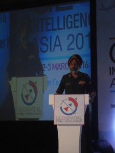
Speaking at the GeoIntelligence Asia 2016, he stressed that , “We have to have a policy permitting access of data which is there in the government domain. Denying accessibility of data/mapping will defeat the very purpose of people’s awareness about the Geo-spatial Technology and Systems. The government needs to develop Public-private Partnership (PPP) for the optimum use of Geo-spatial technologies.”
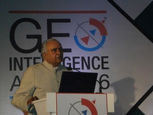
Lt Gen Nirbhay Sharma, PVSM, UYSM, AVSM, VSM, Governor of Mizoram delivered the Field Marshall Manekshaw Memorial Lecture and remembered him for his unsurpassed leadership skills. He also spoke on the geopolitical situation in Asia Pacific, and need for India to continuously work on enabling military with latest geospatial technologies and capacities. According to him space and cyberspace, are the two new dimensions of modern warfare with their own set of security concerns. This requires developing and deploying assets in space for providing early warning, communications, command and control, position navigation and timing and monitoring remote sensing, and national technical means; and aimed at enhancing military command, control and communications, strategic and battlefield surveillance and weapons targeting. As the all-pervasive virtual terrain, cyberspace presents its own set of opportunities and challenges. Computerised and networked defence systems make the battlefield digital in nature and entail the need to protect the associated cyberspace.
Dr Satheesh Reddy Scientific Advisor to the Defence Minister while speaking at the Geo Intelligence Asia 2016, noted that planned and positive growth depends on real time intelligence. Talking about the spatial intelligence capacities of India said, “We have launched many satellites, the data is being provided to the defence needs in coordination with ISRO and its centres.” He further elaborated that space based systems in Defence is gaining prominence and Launch-On-Demand model of launching satellites and providing integrated platforms and sensors is also growing significantly. He also emphasised on the need to work on creating capacities for developing sensors using indigenous methods and importance of Nano satellite technology for India illustrating vessel movement and tracking in the oceans as a use case. He recognised the work going on in the area of positioning and navigation and commended ISRO’s work in the projects GAGAN and IRNSS.
Geo intelligence is an extremely potent tool for defence and internal security. The ability to strike first, strike deep and strike effectively is of paramount importance for gaining success in operations of war. The manifestation of this ability in a battlefield requires not only firepower in terms of lethal and long-range weapon system but also an effective command and control system, which is essential for accurate and timely application of firepower. The ability of GIS to present data in a graphic form, which is a convenient and effective means of communicating complex information, makes it the critical component of decision support system in modern battlefield.
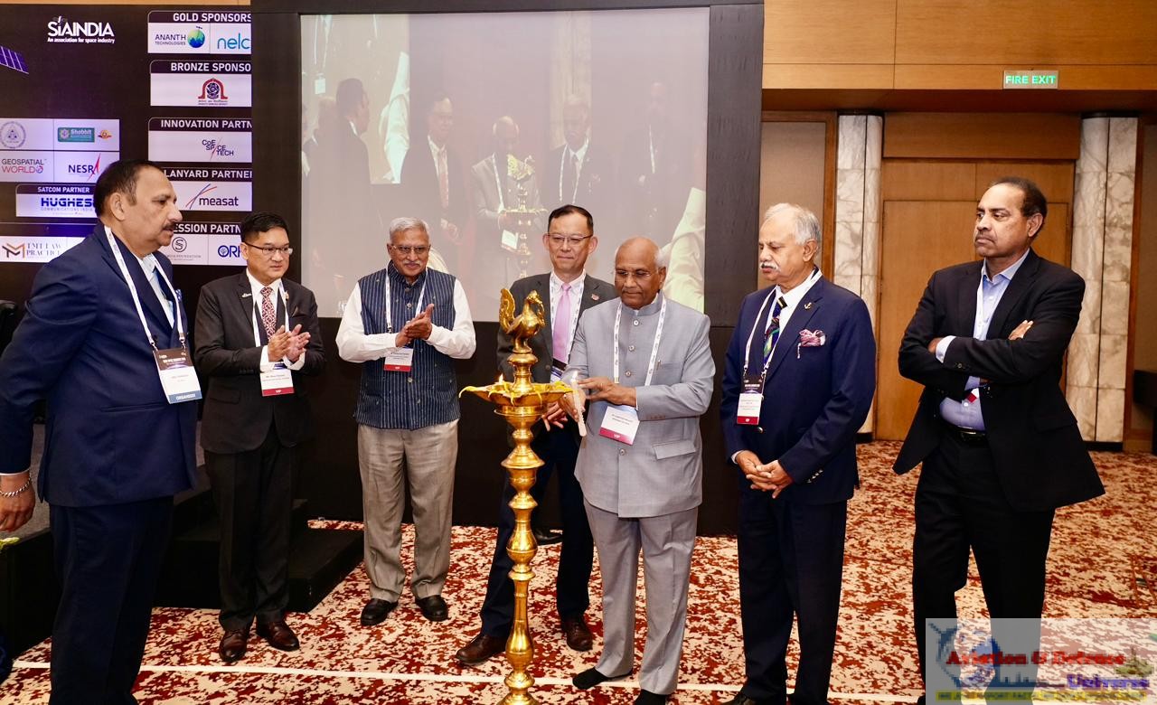
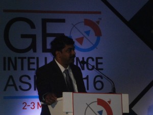
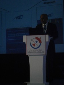
Director General of Information System Indian Army addressing the gathering
Lt Gen JS Matharu VSM, Director General of Information System said, “Maps and Geospatial data are critical to the soldiers in the battlefield. He emphasised that ground is of utmost importance for military and what GIS does is to look at the ground in a tactical battle area, explore terrains virtually, and significantly supplement the reconnaissance physically.” He also spoke on building better systems for the army and urged the industry and academy to take a note and bring in interoperable solutions based on Open Geospatial Consortium (OGC) open standards.
Emphasizing Geospatial technology in national policing operations and international intelligence sharing using Geospatial Intelligence, Kshemendra Paul, Office of Director of National Intelligence, USA said, “Geospatial technologies are key enablers of defence community and provide critical information and intelligence. The current information sharing environment in US is critical for law, defence and homeland security. Such programs help in the aspect of critical information sharing, safeguarding sensitive information, civil rights and civil liberties of the citizens by avoiding misuse of information.” He further emphasised the critical role organisational partnerships and open interoperability standards play in enabling such sharing environments to be more secure.The increasing role of Geospatial Intelligence as an integrating platform for all military and intelligence information (ISR, planning, situational awareness, and support to deployed forces. Enabling geospatial intelligence for disaster risk reduction, preparedness, response and recovery and the role Geospatial plays in providing support to analysis, planning and response operations.
For international watchers, some time back Robert Cardillo, Director of the US National Geospatial-Intelligence Agency had emphasised to the press, “They are learning…to plan and to execute these heinous attacks in ways that stay under our ability to detect them…We must create new signatures, we must create a new sense of awareness.” Cardillo is considered to be a top US intelligence official speaking on such matters. His agency is responsible for delivering first-class intelligence via geospatial tools and technology. Their intelligence is often renowned for its accuracy and advanced geospatial intelligence (GEOINT). GEOINT allows the exploitation and analysis of imagery and geospatial data which describes, assesses and visually depicts physical features and geographically referenced activities, globally. The agency is world renowned for its work with policymakers, war fighters, intelligence professionals and first responders. India could do with collaborations with such organisations.
There are three key components to crisis mapping: information collection; visualisation and analysis. The crowd, that collects the information and cloud that stores the information, are two things that are crucial for crowdsourcing. Government change or leadership change is leading to drying up of funds for AMCs, upgrades & upskilling; loss of enthusiasm in personnel; new ideas for projection of ‘work done’ as against running the existing systems well.

Maritime Domain Awareness(MDA) is the effective understanding of anything associated with the global maritime environment that could impact the serenity and safety of a country. MDA’s core process is the monitoring of vessels and cargo. Strategic MDA requires a good perspective and capabilities at the highest levels of analysis, intelligence and policy. Rear Admiral Dr. S. Kulshrestha (Retd.)Indian Navy stated, “Indian agencies had carried out reconnaissance mapping of ~85.7% of offshore area within the territorial waters (TW) and >98% of the seabed within the Exclusive Economic Zone, EEZ, by March 2011. These are accumulation of valuable minerals formed by gravity during sedimentary processes, the survey has found two promising zones namely, 210 sq km on the west coast and 923 sq km on the East Coast (Off Andhra and Orissa Coast). Relict Marine Sand. Survey of various blocks off Kollam, Ponnani, Beypore, Chavakkad etc have confirmed the presence of relict sand in an area of 13750 sq km. Lime Mud Deposits. These have been found at a depth of 180- 1200 m off Gujarat coast and at depth of 100-200 m off Andhra Coast.”
The Navy Way, sheds light on the ‘Make in India’ initiative, which aims to encourage foreign OEMS manufacture products in India-not clear. CARABAS system is a system that has been designed to enable superior foliage and camouflage penetration (FOPEN) capabilities, wide area surveillance and automatic target detection. CARABAS can perform target detection under foilage, target detection under camouflage and area mapping under foliage. This is helpful in keeping the force well trained and enabled.
Atul D Tayal, Joint Managing Director & Chief Operating Officer – Domestic Operations & Member of the Board, Rolta India Ltd said, “Geospatial Information is a critical component in defence and military operations. This information is now seen as a key element of national power and the military leadership has recognised the operational advantage geospatial information provides.”
South Asia’s two biggest geospatial conferences — GeoSmart India 2016 and GeoIntelligence Asia 2016 —saw representation from 500 organizations, with 2,100 people attending the plenary sessions, meetings, product demos and presentations. 52 exhibitors displayed their products and solutions, and leveraged the occasion to reach out to larger number of clients in both government departments and private sector.