


- From Start-up to Satellite Powerhouse: Satleo Labs’ Journey with CTO and CSO
- Satleo Labs Aims to Democratise Space Tech for India and the World
- Revolutionising Space Connectivity: Satleo Labs’ Founders Speak at India Space Congress 2025
By Sangeeta Saxena
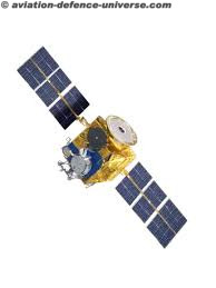
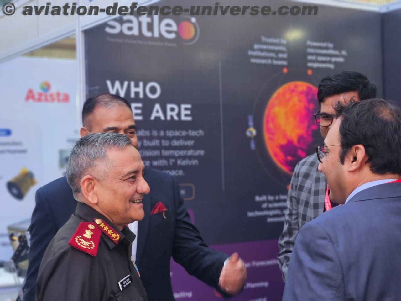
New Delhi. 26 June 2025. Satleo Labs is an emerging Indian space-tech startup founded with the mission to build smart satellite infrastructure leveraging edge computing and LEO constellations. Based in Ahmedabad, the company is creating scalable and interoperable systems to meet the growing demand for real-time high-resolution data in agriculture, urban climate, defence, and environmental monitoring. With a strong emphasis on modular design and open architecture, Satleo Labs is redefining what small satellites can achieve. Its platform enables low-latency decision-making and AI-enabled processing at the satellite level, significantly reducing the bandwidth and energy required for traditional ground-centric operations. By enabling intelligent data filtration and compression before transmission, Satleo ensures more efficient use of orbital and ground assets.
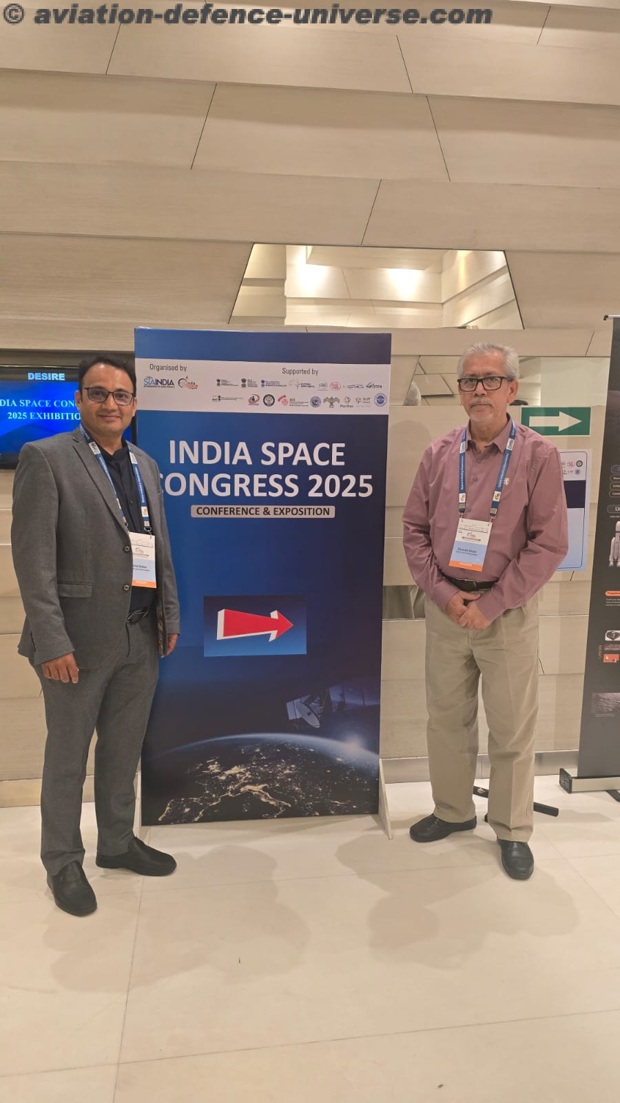
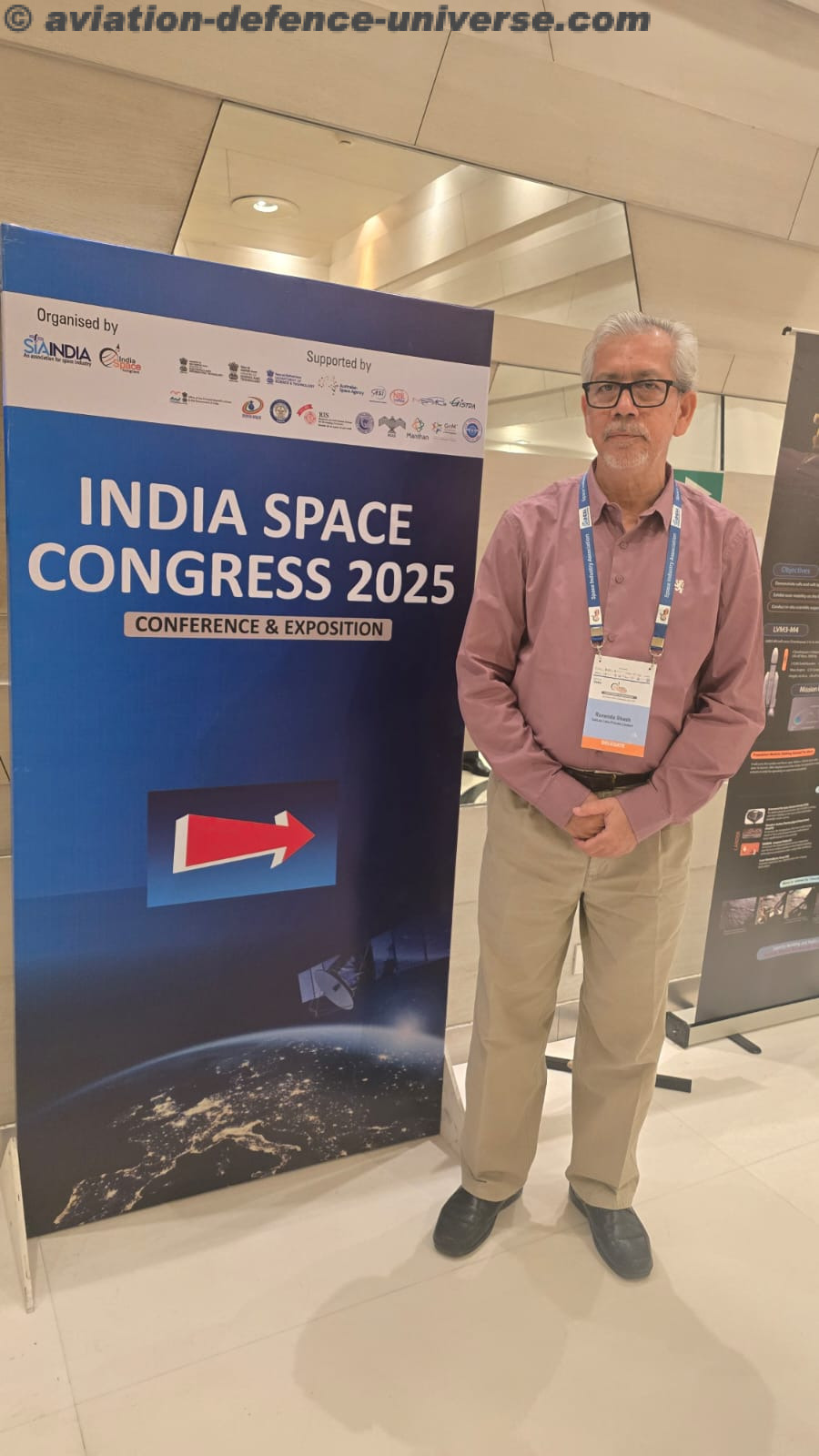
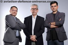
 At the India Space Congress 2025, ADU caught up with the dynamic founding duo of Satleo Labs—Dr. Ranendu Ghosh, Co-founder & CTO, and Urmil Bakhai, Co-founder & CSO. With their deep expertise in electronics, software, and systems integration, the two visionaries are steering the Ahmedabad-based startup toward becoming a significant player in India’s rapidly evolving NewSpace sector. In an exclusive conversation, they shed light on how Satleo is working on building LEO satellite constellations and novel edge-processing systems to enable low-latency and high-bandwidth solutions for terrestrial applications.
ADU. Tell us about Satleo Labs’ founding journey.
Dr. Ranendu Ghosh. We started Satleo Labs to develop thermal Earth observation satellites that support critical infrastructure planning, defence readiness, and environmental resilience through high-resolution data. Both Urmil and I come from strong engineering and system design backgrounds, and we saw an opportunity to innovate by combining edge processing with LEO constellation architecture. We believe India has the talent, need, and strategic environment for building its own high-performance satellite infrastructure.
 ADU. What’s unique about Satleo’s approach to satellite technology?
Urmil Bakhai. We’re not just replicating what others are doing—we’re building a novel, fully software-defined stack for our LEO satellites. This includes edge AI for autonomous decision-making, spectrum optimisation, and near real-time analytics. What makes us stand out is our integration-first design, which ensures compatibility across applications. The future of space is data, and we aim to make that data timely, accessible, and relevant.
ADU. What role do you see Satleo playing in India’s space ecosystem?
Dr.Ranendu Ghosh. As ISRO opens up and IN-SPACe supports startups, there’s a clear push toward creating a self-reliant commercial space ecosystem. Satleo’s role is to fill the gap in India’s LEO constellation capabilities, especially for defence, logistics, smart agriculture, and disaster response. We’re also committed to global partnerships and have already begun dialogues with stakeholders in the Middle East and Southeast Asia. We envision Satleo as a trusted provider of secure, sovereign, and smart space-based thermal insights.
ADU. Tell us about Satleo Labs and what makes it unique in the space tech sector.
Urmil Bakhai. Satleo Labs is a space technology company focused specifically on earth observation. Our niche lies in capturing thermal imagery of the planet. We’re building our own constellation of satellites in Low Earth Orbit (LEO) designed to deliver extremely high-resolution spatial and temporal thermal data.
ADU. Why the emphasis on thermal imagery?
Urmil Bakhai. Since you’re from a defence background, you’d appreciate the power of thermal imaging in providing intelligence and surveillance insights. But our application scope isn’t limited to defence alone. We’re also focusing on civil domains like monitoring natural disasters, early warning systems for volcanic eruptions, forest fires, and climate change mitigation efforts. Thermal data has proven crucial in these areas where early detection can prevent large-scale destruction.
 ADU. Are you manufacturing your own satellites and payloads?
Urmil Bakhai. Yes, absolutely. We are designing and manufacturing our own satellites and payloads in-house. The manufacturing process has already started. While we build the satellite systems, we will be working with launch partners like ISRO to deploy them into space.
ADU. What is the market opportunity for thermal earth observation beyond government clients like ISRO?
Urmil Bakhai. That’s a great question. In fact, our startup was born out of a real-world challenge, not just theoretical possibilities. There’s a growing global demand for thermal data—from governments, disaster management authorities, infrastructure monitoring agencies, to climate researchers. This creates a robust commercial ecosystem. While ISRO remains a strategic partner, we’re also looking at international collaborations, commercial data sales, and specialised analytics for industry-specific needs.
ADU. You mentioned manufacturing your own payloads and satellites. Can you elaborate on the plan and the partners involved?
Urmil Bakhai. Yes, absolutely. At Satleo Labs, we are building everything in-house—both our payloads and satellites. For launching them into space, we will collaborate with launch partners like ISRO, who will provide access to their rockets and launch capabilities.
ADU. A constellation of thermal satellites is ambitious. But how do you ensure there’s a viable market beyond ISRO?
Urmil Bakhai. That’s a key question. Our journey started from a real-world challenge. The three of us co-founders were previously involved in a marquee agricultural project for the Government of Gujarat, where we worked extensively with satellite-based remote sensing, machine learning, and AI to generate insights—like crop yield estimation, drought prediction, and water stress mapping.
 ADU. So the roots of Satleo Labs come from agricultural analytics?
Dr. Ranendu Ghosh. Exactly. At that time, we were not operating as a startup yet but were engaged through a different organisation. What we found was that our predictive models were falling short of the accuracy levels our clients demanded. A deep dive revealed that the missing puzzle was accurate, high-resolution thermal data—particularly temperature information for each small farmland, which is vital for predicting agricultural outcomes.
ADU. Wasn’t thermal data already available from satellites?
Urmil Bakhai. It was—but the resolution was too coarse. For a country like India, where farmland is fragmented, each plot needs fine-grained temperature data. The available satellite data didn’t support that level of specificity. That’s when we realised the gap, and questioned whether IoT sensors or other technologies could fill it. But considering the daily frequency and scale required, only a constellation of our own satellites could address this challenge effectively.
ADU. And this model expanded beyond agriculture?
Urmil Bakhai. Yes, once we understood the value of daily high-resolution thermal data, we saw its broader relevance—not just in agriculture, but also in defence. Unlike optical or radar satellites, thermal imagery works day and night, making it vital for surveillance, early warning systems, and sensitive strategic insights. That’s how our vision of Satleo Labs took shape.
ADU. You’ve spoken about the advantages of thermal imagery. What makes it especially useful for defence?
 Urmil Bakhai. Thermal imagery is a powerful tool for defence. Its ability to offer night vision and detect heat signatures through camouflage makes it invaluable for surveillance and reconnaissance. It can detect changes in thermal patterns—say, after a missile strike—even when there are no visible morphological changes. Other sensors, like optical cameras, might miss this completely.
ADU. That’s impressive. But beyond defence, where else does thermal data have impactful use cases?
Urmil Bakhai. Absolutely, the use cases are expanding rapidly. With rising global temperatures and growing urban heat islands, city administrations and municipal corporations now require heat mapping for urban planning and climate adaptation. Area-wise temperature data helps pinpoint hot zones and guide urban development, green cover expansion, or cooling infrastructure.
ADU. You seem to have a very focused and untapped market.
Urmil Bakhai. I’d say it’s unexplored more than anything. Everyone talks about visible or microwave imaging in Earth observation. Thermal imaging doesn’t get the attention it deserves—yet it’s potentially a game changer. Once stakeholders see its power in action, it’ll become a critical part of policy-making and disaster management.
ADU. Can you explain that with a real-world example?
 Dr. Ranendu Ghosh. Take drought prediction, for instance. In India or parts of Africa, drought is a recurring problem. Currently, we use NDVI (Normalized Difference Vegetation Index) to assess drought by measuring greenness. But there’s a lag—about 15–20 days—between actual moisture stress and visible greenness loss. This delay hampers timely response.
ADU. So how does thermal imaging change that?
Dr. Ranendu Ghosh. We focus on measuring evapotranspiration, which combines the evaporation from soil and transpiration from plants. This gives us real-time insights—we can predict the onset of drought within a day or two, far ahead of traditional methods. This allows us to alert farmers early and recommend corrective steps like scheduling irrigation. That’s where we believe thermal imaging becomes a life-changing tool.
ADU. And in defence?
Urmil Bakhai. In defence, any activity that generates heat becomes our domain. For instance, if a strategic site is targeted in a missile strike, there may be no visible change to detect. But a thermal satellite can spot the sudden heat signature immediately. This enables near-instant situational awareness—which no other imagery mode can provide.
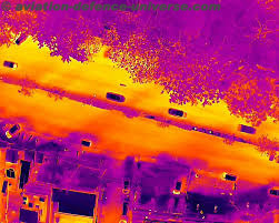
ADU. Sir, tell us one basic thing — how can we see temperature changes through a picture?
Dr. Ranendu Ghosh. What we are capturing is not just a picture in the conventional sense. We are actually collecting a specific metric called land surface temperature. This is derived from what’s known as brightness emittance — radiation captured at the top of the atmosphere. That radiation, when processed through algorithms, gives us accurate land surface temperature data.
ADU. So you’re not just taking images, but also collecting temperature data?
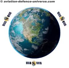
 Dr. Ranendu Ghosh. Absolutely. When we say thermal imagery, it essentially means we are measuring heat signatures across locations. For example, during an explosion, there’s a spike in temperature — if our satellite constellation captures that moment, it can confirm where and when the event occurred. But to do that effectively, you need multiple satellites in orbit to ensure coverage at frequent intervals.
ADU. That sounds essential for real-time monitoring. Were there any specific user requirements that led you to this approach?
Dr. Ranendu Ghosh. Yes. We were in discussion with the Forest Survey of India just recently. They told us they’re currently using data, which has a very coarse resolution of 1 km and limited temporal coverage. Between 10:30 a.m. and 6:30 p.m., there’s no reliable satellite data available. What they need is a system that can capture temperature anomalies every 3 to 4 hours — and in much higher resolution.
ADU. What are they looking for exactly, in terms of data?
Dr. Ranendu Ghosh. They want not just probability-based fire incidence maps but actual thermal values — temperature, spread, intensity, and how it varies across an affected region. For that, we’re targeting a spatial resolution of 10–12 meters, which is very high for thermal imaging. But high resolution means reduced swath width — so we compensate by having a larger number of satellites in our constellation to ensure regular passes over target areas.
ADU. Do you have your own manufacturing line for building these satellites and payloads?
 Urmil Bakhai. At this point, we’re leveraging government infrastructure. We’re using IN-SPACe and ISRO facilities for both testing and manufacturing of our payloads. These facilities already exist and are quite advanced, so rather than setting up a new capital-intensive unit from scratch, we’re collaborating with them. It’s efficient and allows us to focus on innovation.
ADU. So you’re planning to launch a full constellation?
Urmil Bakhai. Yes, our goal is twice-a-day global thermal coverage with our satellites. That means putting enough satellites in orbit so that we get the revisit frequency and data density needed for applications like early forest fire detection, military surveillance, urban heat mapping, and drought forecasting.
ADU. When is your first satellite scheduled to launch?
Urmil Bakhai. Our first experimental satellite is planned for launch in Q1 of 2026, most likely around February or March. Then our main operational satellite is scheduled for Q4 of 2026, in the October–December window.
ADU. Will this be part of a constellation or just a single satellite to start with?
Urmil Bakhai. Initially, it will be a single satellite — for both the experimental and operational versions. The next launches will build upon this and add more satellites to form our thermal imagery constellation.
 ADU. What’s the key difference between your experimental and operational satellites?
Urmil Bakhai. The main difference lies in the detector, which is the heart of the satellite payload. For the experimental version, we’ll use an uncooled detector, so the accuracy won’t be optimal. But the main operational satellite will feature a cooled detector, which will greatly enhance performance and precision. We’re aiming for that to launch in Q4 2026.
ADU. That’s a very structured roadmap. How has the journey been in terms of funding?
Urmil Bakhai. It’s been a challenging but exciting journey. We closed our pre-seed round in March–April 2025, raising $3.3 million from six Indian VCs. The last 8–9 months have been intense — transforming an idea into execution always brings unexpected challenges.
ADU. What were the biggest hurdles?
Urmil Bakhai. One major issue has been availability of space-qualified components. Procurement is tough, and meeting technical standards is demanding. But that’s part of the fun — no innovation without obstacles, right?
ADU. Is your funding entirely Indian?
Urmil Bakhai. Yes, all our funding so far is 100% Indian. That’s something we’re very proud of. Plus, the Government of India is stepping in with initiatives like a ₹1,000 crore space VC fund, which will be a huge help to startups like ours in the near future.
 ADU. What do you think the Indian space ecosystem needs to truly thrive?
Urmil Bakhai. More than funding, we need anchor customers. SpaceX had NASA. One of our peer companies just received a multi-million dollar contract from ESA. If Indian startups get such long-term, committed government contracts, funding will follow naturally. ISRO and IN-SPACe should play that facilitator role.
ADU. Is IN-SPACe actively supporting startups like yours?
Urmil Bakhai. Yes, and they’re doing a good job under the leadership of Dr. Pawan Goenka. He’s dynamic, has a clear vision, and more importantly, he’s taking steps to implement it. The entire ecosystem is slowly maturing, and we’re optimistic about the next 5 years.
As India emerges as a global space power, companies like Satleo Labs are ensuring that its technological 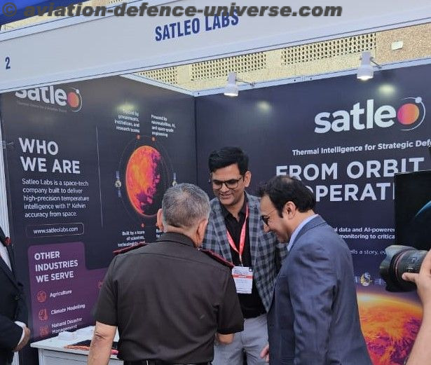 capabilities keep pace with its ambitions. With bold plans for LEO constellations and edge AI, the startup represents the new wave of deep-tech innovation rooted in Indian talent and global vision. Satleo Labs’ journey is not just about satellites—it’s about shaping the next-generation infrastructure that will power everything from smart cities to disaster response.
Satleo is also working closely with Indian and international regulators, aiming to create compliant, secure, and mission-critical services that align with both commercial and strategic national interests. Its roadmap includes launching a pilot constellation by 2026 and establishing global collaborations in cloud infrastructure, launch services, and hybrid terrestrial integration.
As told to Sangeeta Saxena